Early Season Conditions Update
Elemental Adventure •
2019 Ski Conditions Update
Predicting what conditions will be like much past tomorrow, let alone next week, is a fool's game but it's only just December and having been neck-deep in powder several times already we're getting a bit over excited. So... for what it is worth, here's a brief and general round- up of what's going on here there and everywhere.
Northern British Columbia, Canada
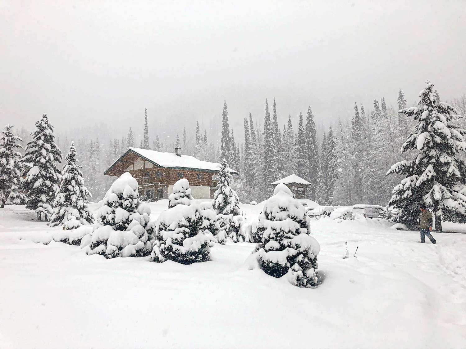
Whilst southern British Columbia got off to rather a slow start, parts of Northern BC were hammered by early season snow and are enjoying one of the deepest early season snowpacks in recent years. At Bell 2 Lodge, home of Last Frontier Heliskiing, there was a record november snowpack of over 1.5 metres at 1,300m elevation and over 2 metres at higher elevations. The warm temperatures of last weekend locked up the snowpack and with 30-40 cm of new snow forecast towards the end of the week things look promising for the arrival of the first heliski guests of the season.
Further south towards Whistler it is an unusually thin start to the season - despite the recent snowfalls. These were accompanied by high winds that stripped windward facing slopes and left snow depths highly variable in the alpine. 20-40 cm of new snow is forecast on Thursday together with a dropping freezing level which should improve things somewhat but what's really needed are a couple of mega dumps..
In the interior of BC towards Revelstoke, it was also a relatively slow start to the season but things have been improving recently with some significant snowfalls. However, a number of weak layers in the snowpack are causing some significant avalanche problems that are likley to limit safely skiable terrain - possibly for quite some time. Travelling east towards Golden and the Rockies the situation is even worse with some deep and persistent instabilities in the snowpack.
Siberia - Lake Baikal
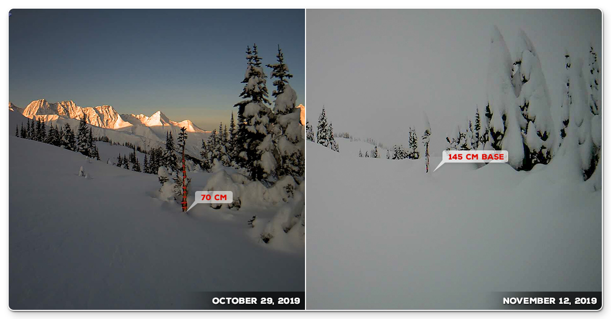
Despite a lower than normal snowpack for this time of year, the earlier November weeks started with fantastic snow quality. In early December there was a big snowfall followed by clear skies that made for some incredibly deep days with the finest over-the-head Siberian powder served up on a daily basis. Regular top ups this week followed by a heavier snowfall towards the end of the week should make for outstanding skiing right through the season.
Watch Deep in Siberia movie.
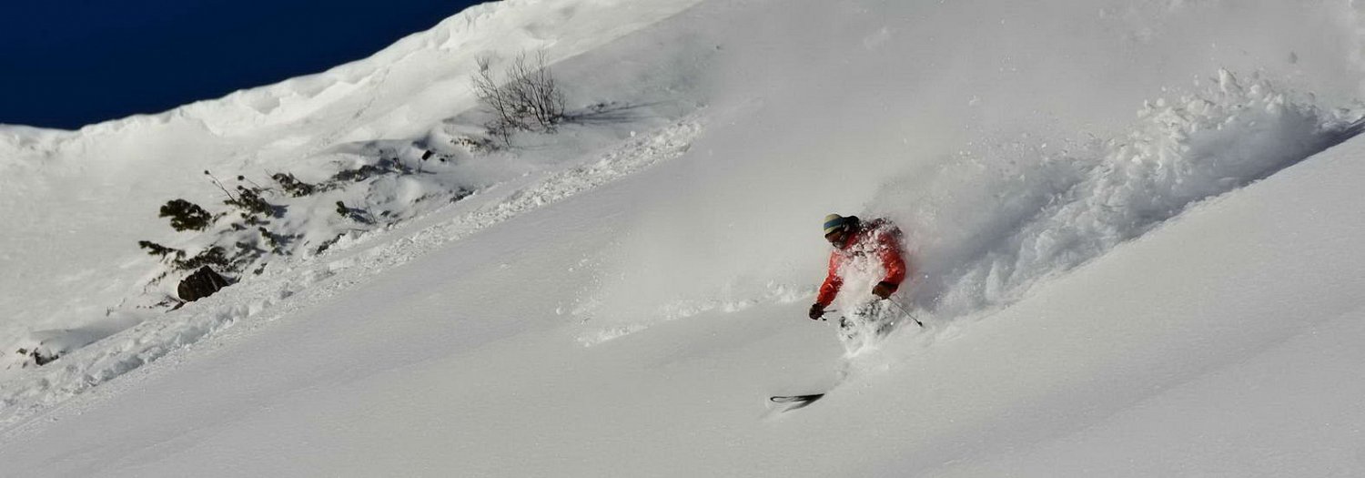
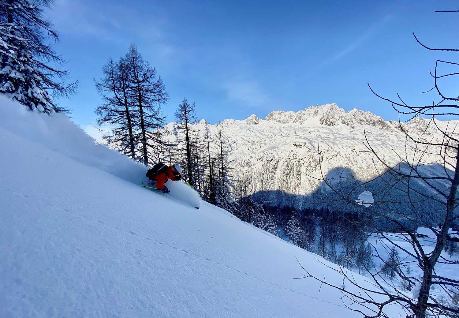
The European Alps
By and large the European Alps have been off to a pretty good start to the season. The last days of November saw significant snowfalls across the Alps with many enjoying clear skies and awesome powder on the 30th November. A relatively dry week for most was then followed by an intense snowfall on Sunday and Monday that left over 50 cm of new powder above 2,000m and made for some awesome snow conditions early this week. Snowpack depths in the Mt Blanc region are between 130-160cm at 2,500m. Parts of Switzerland, Italy and Austria are doing even better.
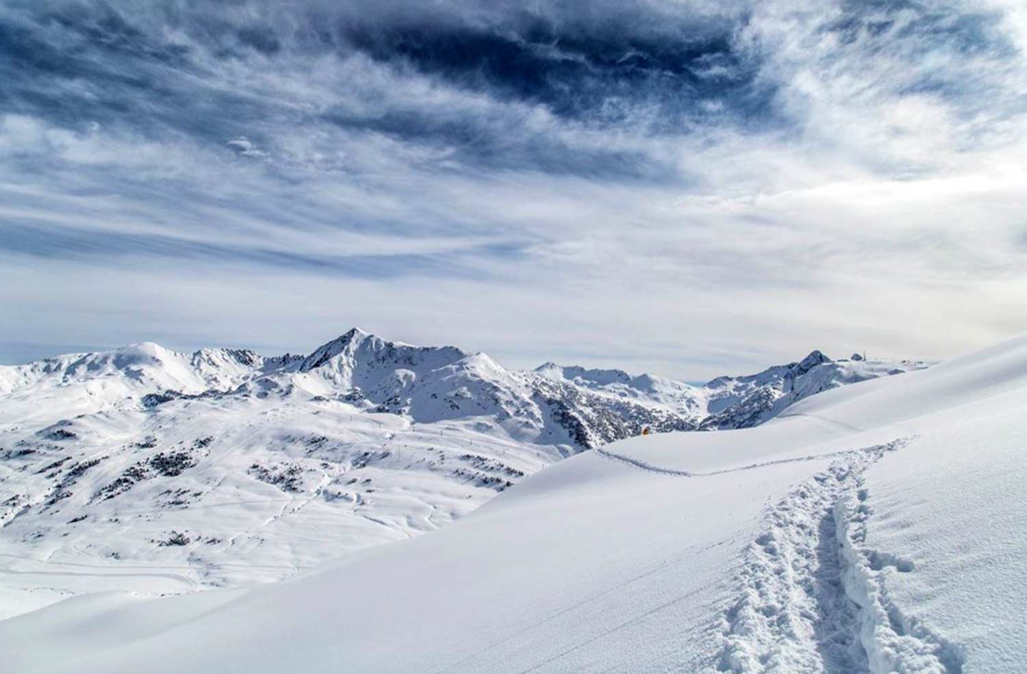
The Spanish Pyrenees
It is early days yet but still the Spanish Pyrenees have snowpack depths between 50 and 100 cm with many resorts open and enjoying good conditions. There are no significant weak layers in the snowpack and once the next snowfall comes the 2019/20 heliski season will be up and running. Half a metre is forecast to fall between this afternoon and the end of the week so it won't be long!